
OUR SCIENTIFIC APPROACH
We use the biometric model of plant species to measure biodiversity and ecosystem services, taking into account their metabolic capacities and growth (leaf area and coverage), as well as biodiversity investment plans. Our scientific methodology is based on:

The leaf area: Leaves perform different functions and the greater the number of leaves, the greater capacity to optimize services.
Stomatas: The quantity and distribution of these on the leaf depends on each species and conditions capacity to absorb pollutants.
Leaf physiognomy: The capacity to fix particulate matter depends on the characteristics of the leaf.
Canopy: The ability to attenuate ambient temperature and to absorb harmful radiation depends on the canopy.
Amount of food and shelter species provide: Are key to attract fauna.
Biophilic capacity: It is related to the chromaticism, aroma, and visual appeal of plant species.
Adaptation or Resilience of the species: Adaptation capacity depends on their temperature tolerance, drought resistance, efficient water use or pest and disease resistance.
OUR STANDARD MAIN GOALS
SPECIES RANKING
BASED ON THE ECOSYSTEM SERVICES THEY PROVIDE
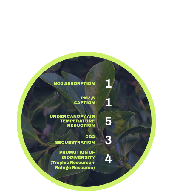
1
Laurel de Indias
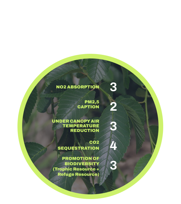
2
Olmo de Siberia
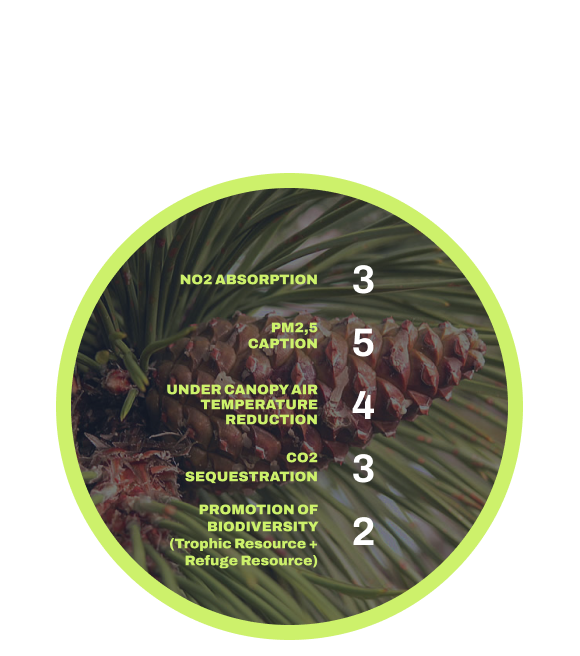
3
Pino negral
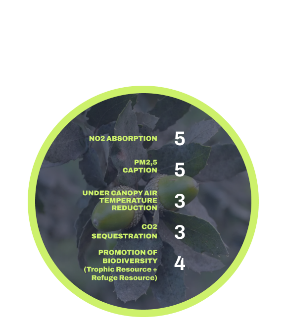
4
Alcornoque
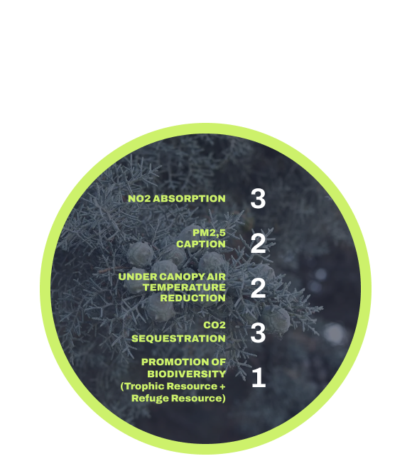
5
Ciprés de Arizona
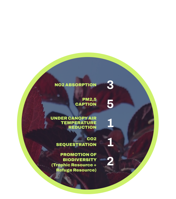
6
Ciruelo-cerezo
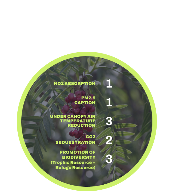
7
Falso pimentero
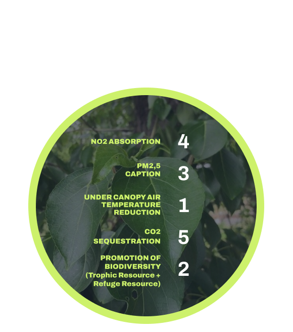
8
Álamo
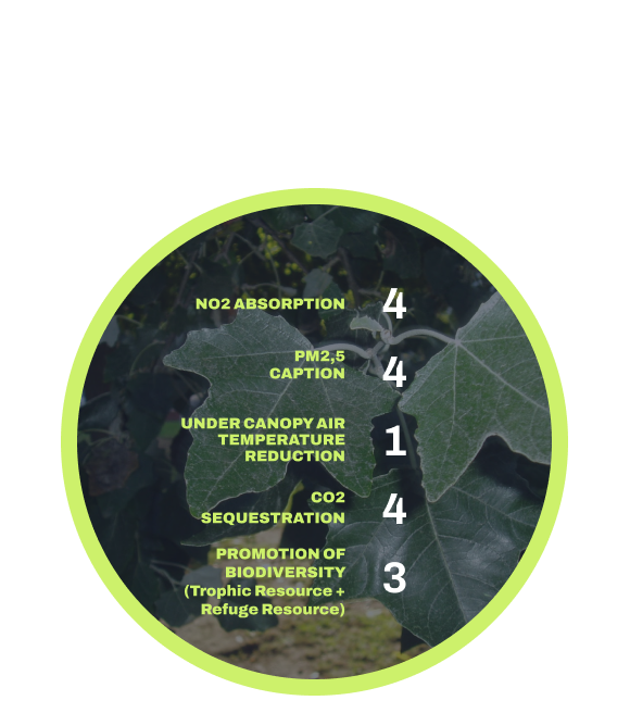
9
Álamo blanco
METRICS
The Standard includes metrics to measure both, the stock of Urban Biodiversity and its related ecosystem benefits.
stock of urban biodiversity
It refers to the number of species.
Number of individuals per species, based on an inventory, by satellite technology or a combination of both.
It indicates the number of leaves per species and it is linked to the available area to perform certain services.
It indicates the area of masses (tree, bush, grass) from an overhead view, as well as the proportion and representative status of the different habitats. The area of each stratum is measured directly by satellite technology
It establishes the relationship between richness and abundance by applying the Shannon Index.
It indicates the capacity of the stock to adapt to risk scenarios depending on temperature variability resistance, drought tolerance and pest resistance.
ecosystem benefits associated
This variable is related to decreased temperature, increased humidity and decreased radiation under the canopy and decreased ultraviolet radiation.
The whole leaf area is available for gas exchange through the stomata.
This parameter is determined by the physiognomy of the leaves.
CO2 storage is performed in all structures of the plant: leaves, branches, trunk and roots. In order to value this parameter, CO2 storage tables shall be applied.
Fauna attraction depends on the phenological characteristics of the species. The database of plant species in the standard establishes a fauna attraction value for each of the species that ranges from 1 to 12.
Biophilia depends on parameters of sightliness, aroma, and colouring that are associated with the phenological parameters of the species. The plant species database in the standard establishes a fauna attraction and a biophilic capacity value for each one of the species that would vary between 1 and 12.
This parameter is obtained through direct measurement by satellite technology.
It al lows correct water infiltration, minimizing the risk of undesired runoff and erosion. This area is measured with satellite technology.
It includes the pedestrian or cycle paths and leisure areas. This area is measured by satellite technology.

